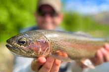
“We like this place,” the man said as he and his son fished for bass and catfish at the confluence of the Boise and Snake Rivers, northwest of Parma near the Oregon border. Perhaps more than ever before on this river, anglers and wildlife, farmers and duck hunters thrive in relative peace.
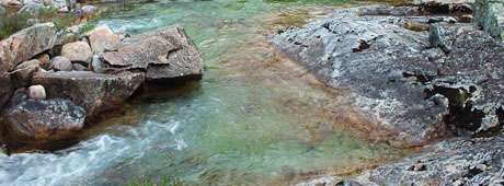
Cinnamon teal and snowy egrets, osprey and black double-crested cormorants, turkey vultures and pelicans are nearly as common as mosquitoes along the lower Boise River. Deer, coyotes, and foxes creep through the thick brush, making a network of trails. Monarch, mourning cloak, and tiger swallowtail butterflies add color and elegance as they float through the cottonwood forest and big fish made a commotion in the river beside the fishermen. The region is alive.
But one small monument nearby marked a death. Fort Boise may have stood tall in 1834 when it was built, but floods have erased any hint of its presence and, in 1854, it was abandoned. It must have been swept away by high water, but that fury comes no more. It happened before dams and irrigation canals and flood-control practices were in place on the new and improved Boise River. Yet floods loom again as a possibility in the age of climate change.
Agriculture dominates the current landscape west of Boise. Canals, ditches, drains, laterals, and creeks dissect the landscape, bringing water to desiccated farmlands. I found it impossible to cross an obscure ditch in mid-May, not to mention all the named and larger canals that I traced and retraced along the river on my upstream walk. The many canals and sub-canals and mini- sub-canals blocked movement for anyone walking along the river. Numerous “No Trespassing!” signs gave the impression that no one should ever stroll alongside this charming river.
Continue reading →